Mountain lakes around the Valley of Mountain Huts
cool mountain water in the mountains
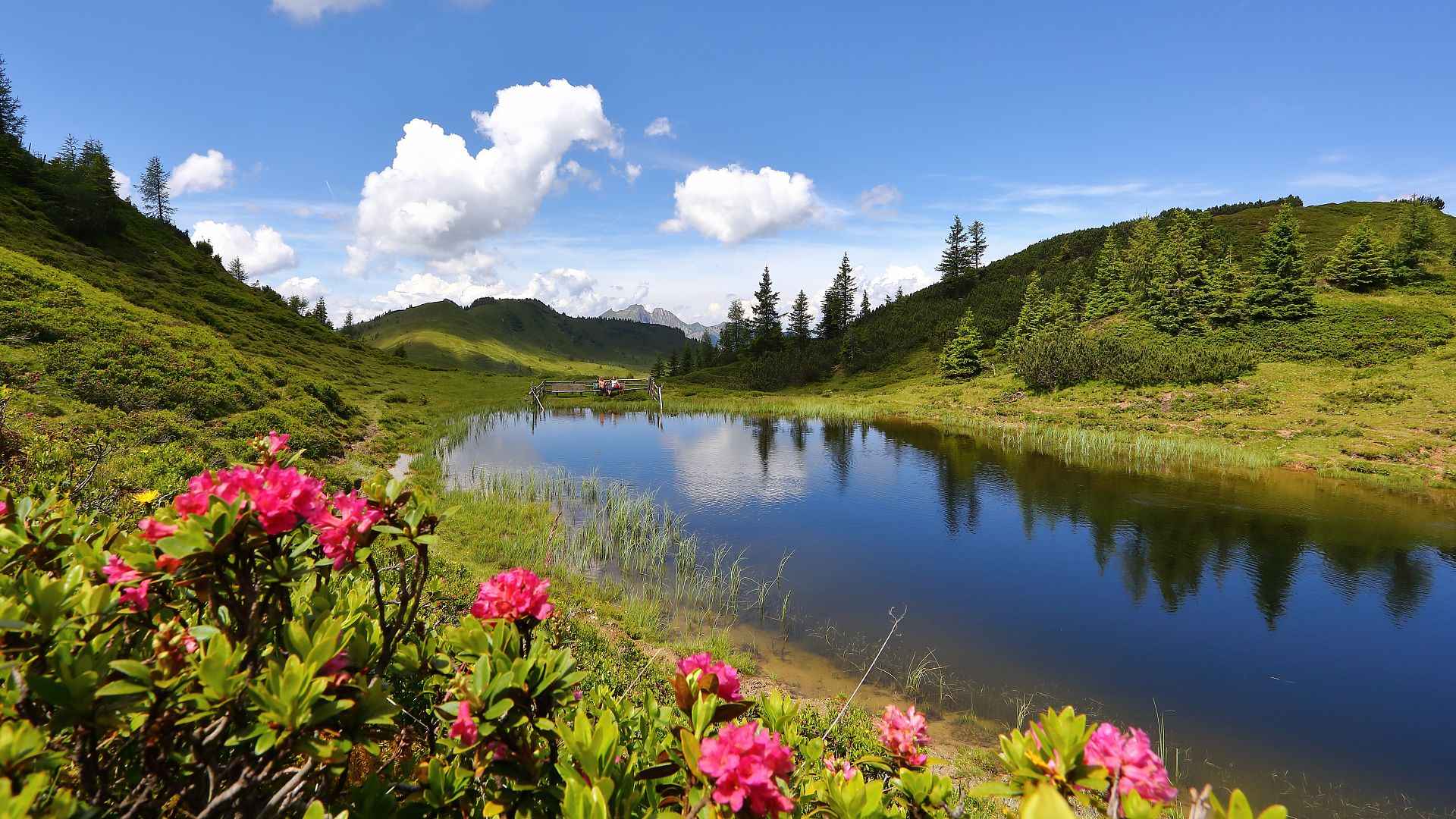
Fancy a cool down? The mountain lakes in Grossarltal might not exactly be “swimming lakes” per se, but they're perfect for a refreshing break during a hike. Just take off your hiking boots and wade through the sometimes icy waters. Sure to reenergize you for the rest of your journey.
Interesting facts
Mountain lakes in Grossarltal
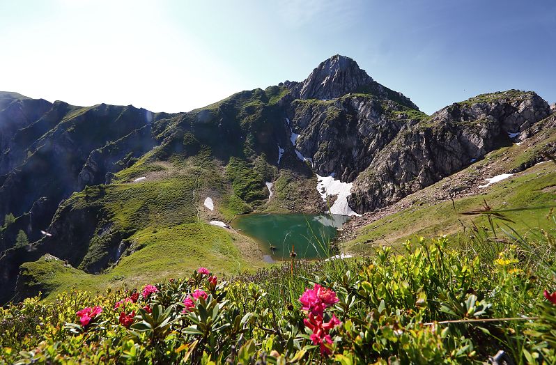
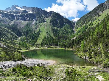
The Schuhflickersee is located on the north side of the peak with the same name, at an elevation of about 2,100 meters. Remarkably, this mountain lake has neither inflow nor outflow, yet its water level remains constant. Schuhflickersee is approximately 110 meters long and 90 meters wide. The Schuhflicker is one of the three limestone mountains in Grossarltal. Due to the calcareous soil, a unique flora and fauna can be observed there.
Hike to the lake:
The Schuhflickersee is about an hour's walk from the Aualm. You can comfortably drive to the hut with your own car.
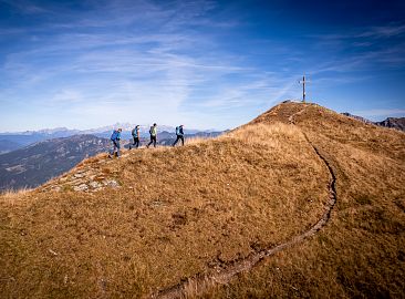
Tip: From the Schuhflickersee, a 20-minute ascent brings you to the summit of the Schuhflicker, a popular destination for sunrise or sunset hikes.
Tour description Schuhflickersee
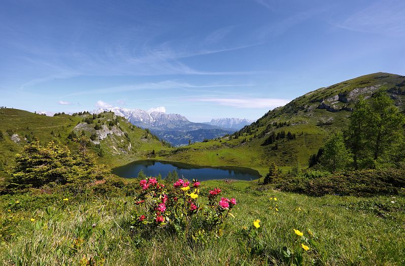
Wanderung zu den Paarseen bei Almrosenblüte
The Paarseen are located in the Gastein Valley at an elevation of 1,856 meters and consist of the small and big Paarsee.
Hike to the lakes:
The Paarseen can be reached from Grossarl starting from the Aualm. The path first leads past the Schuhflickersee. After a splendid ridge hike towards the Luxkogel, you will reach the Paarseen after about 3 hours of walking. The return journey follows the same path.
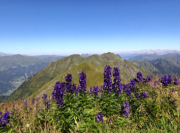
Tip: In this area, you can discover a particularly diverse variety of alpine flowers.
Tour description Paarseen
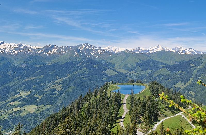
The “Spiegelsee”, located at 1,804 meters, also serves as a reservoir for the Grossarltal-Dorfgastein ski area in winter.
Hike to the lake:
This comfortable hike starts at the mountain station of the Panoramabahn and is perfect for families. On the stroller-friendly path leading towards the Kreuzkogel and Fulseck, you'll reach Spiegelsee in about 1.5 hours. The barefoot path and the playground are particularly exciting for our young hikers.
Accessible by gondola:
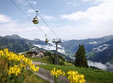
You can easily reach the Grossarl Adventure Mountain and Spiegelsee using the Panoramabahn gondola. From the top station, there are numerous hiking trails as well as huts for refreshments.
Tip: On the way back, pay a visit to the Gehwolfalm and the Grossarl Trail of the Senses.
Tour description Spiegelsee
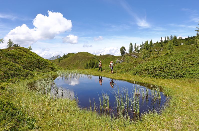
The Trögseen, situated below the Gründegg in the Ellmautal, are a special natural gem. These small moorland lakes, nestled in the alpine landscape, provide a unique habitat for flora and fauna. The Trögseen comprise numerous “Lacken”, which are essentially smaller or larger pools.
Hike to the lakes:
This picturesque hike starts at the Grundlehen parking area and leads via the Ellmaualm to the Trögseen. On the way back, you can stop for a refreshment break at the Ellmaualm.
Tip: The hike up to the Gründegg is definitely worthwhile. From the summit, you have a marvelous view of the Trögseen and the surrounding Alps - perfect for a beautiful photo.
Tour description Trögseen
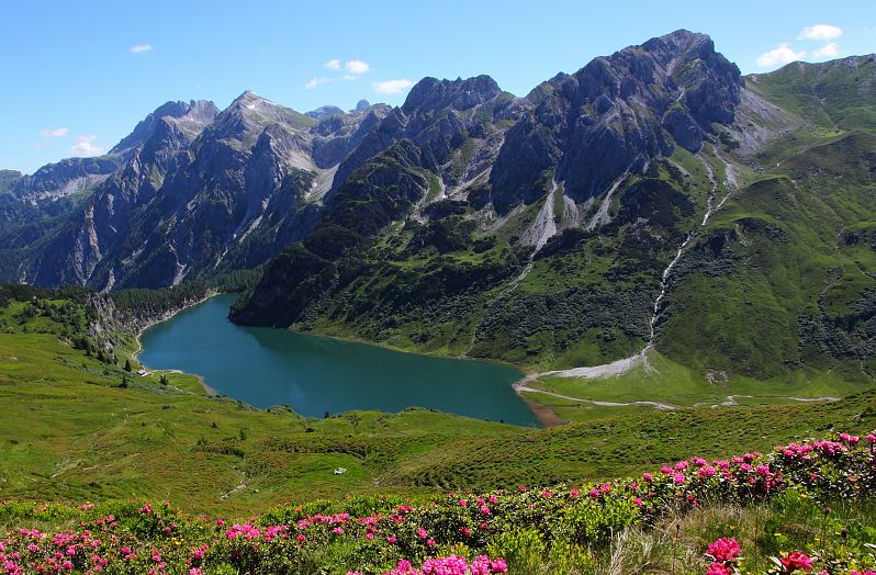
The Tappenkarsee is the largest mountain lake in the Eastern Alps, situated at an elevation of 1,762 meters. The lake is approximately 1.14 kilometers long and about 50 meters deep at its deepest point.
Hike to the lake:
Starting from the Hallmoosalm parking area in Hüttschlag, the trail crosses alpine meadows up to the Karteistörl. The view down to the Tappenkarsee from here is impressive, making the lake a popular motif for photographers. After a descent, you will reach the Tappenkarseehütte and Tappenkarseealm.
Tip: This hike is especially beautiful in early summer when the rhododendron are in full bloom.
Tour description Tappenkarsee
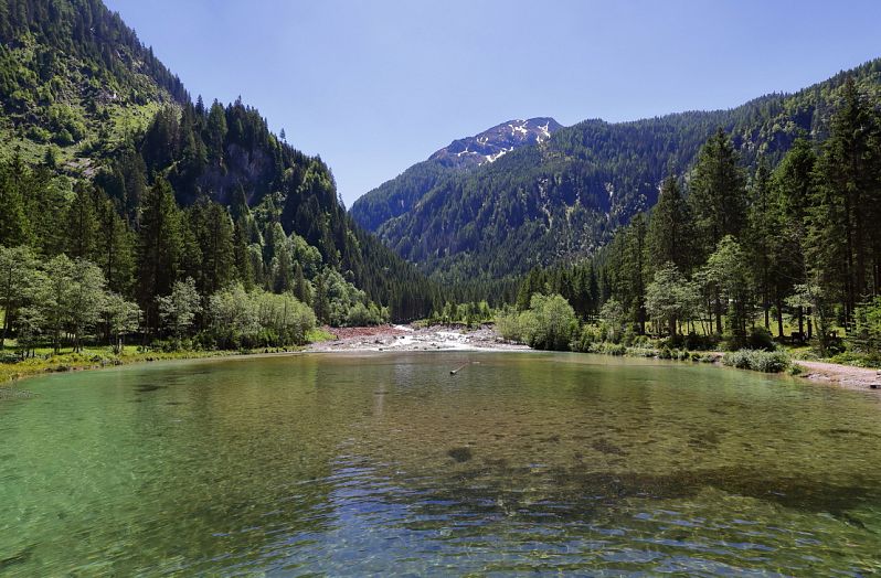
The Ötzlsee is actually fed by the source stream of the Grossarler Ache, which originates from the Keeskogel. The lake is very popular with fly fishermen due to its oxygen-rich and crystal-clear water.
Hike to the lake:
The Ötzlsee is one of the most popular destinations in Grossarltal. The hike starts at the Stockham parking area in Hüttschlag, accessible by car or bus. In just half an hour, a broad, stroller-friendly path then leads you to the Ötzlsee.
Tip: One highlight is the Kneipp pool, inviting you to cool your legs off and refresh in the crystal-clear stream.
Tour description Ötzlsee
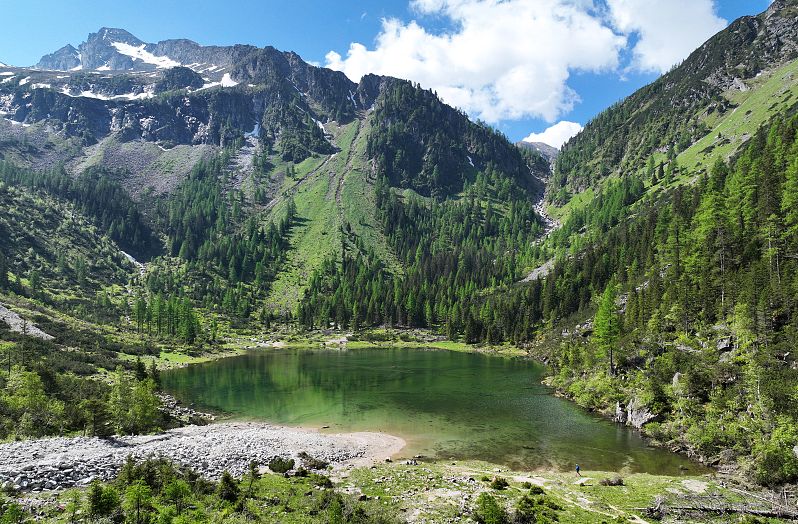
The Schödersee is a periodic lake situated at an elevation of approximately 1,425 meters. It fills only during the snowmelt and after particularly heavy summer rainfalls, resulting in highly variable water levels. In summer, the lake completely dries out, leaving only a narrow stream snaking through the “lakebed.”
Hike to the lake:
The hike starts at the Stockham parking area, passes by the Ötzlsee, and proceeds through the wildly romantic Schödertal in Hohe Tauern National Park, following a rushing mountain stream.
Tip: Visit the Hohe Tauern National Park exhibition "On the Alm – Between Heaven & Earth" at the Valley Museum in Hüttschlag.
Tour description Schödersee
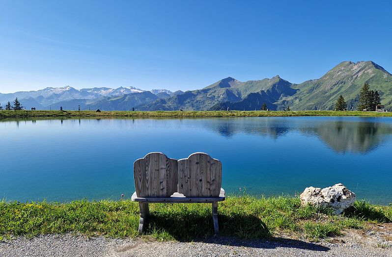
Himmelreichsee is located at around 1,740 metres above sea level in the Grossarltal-Dorfgastein ski area. A sky cinema and a water playground await all hikers at the adventure lake in summer. Cooling off at Himmelreichsee is just the thing in high summer.
Hike to the lake:
The hike starts at the mountain station of the new Kieserlbahn cable car. The tour leads over the ridge to the Fulseck and on over the Kreuzkogel towards the Panoramabahn mountain station. From there, you can reach Himmelreichsee lake in just a few minutes.
Tip: Along the way you are always accompanied by a breathtaking mountain backdrop and on the tour you pass various viewing platforms, nature spots, ball tracks and swings.
Tour description Himmelreichsee


