Hiking Maps
of Grossarltal
The hiking map by Athesia Buch GmbH - geomarketing, scale 1:35,000, is your reliable guide for reaching your destination. This map features all the hiking trails, alpine huts, mountains, and valley crossings accessible from Grossarltal. It also indicates the cycling and mountain biking routes, as well as ski tours in Grossarl and Hüttschlag.
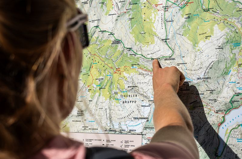
On the reverse side of the hiking map, you'll find panoramic images of Grossarltal for easier navigation. You can purchase this map for €6.50 at the Grossarltal Tourist Office. If you have a Grossarltal Guest Card, you'll even enjoy a discounted price of €4.50.
We are also happy to send it to you in the post to help you plan your holidays better.
Interactive Hiking & Biking Map
You'll find a wide range of suggestions for hiking, mountain climbing, or mountain biking on our online Touring Portal. Explore the astonishing diversity of the Valley of Mountain Huts and plan your individual treks and mountain bike routes interactively. You also have the option to print out your chosen tours beforehand or download the GPS data for easy navigation.


