Permanent IVV Hiking Paths
in Grossarltal
Are you an avid recreational hiker, and do you like to collect achievement stamps for your hiking pass? In that case, you will really appreciate Grossarltal, where we actually boast 3 permanent IVV-certified hiking paths.

At the Grossarltal Tourist Office, you can purchase your starter kit for just €2.00 and kick off your adventure. Once you've completed a trail, head back to the same tourist office to get a stamp for whatever distance you have hiked. This stamp not only serves as a record of the kilometers you've hiked but also counts towards your overall participation and kilometer ranking.
Along the routes, you'll find checkpoints that you shouldn’t overlook. In Grossarltal, each hiking trail is evaluated separately, adding to the uniqueness of each experience.
The 3 Permanent Paths
3 IVV-certified hiking paths wwait you here in Grossarltal.
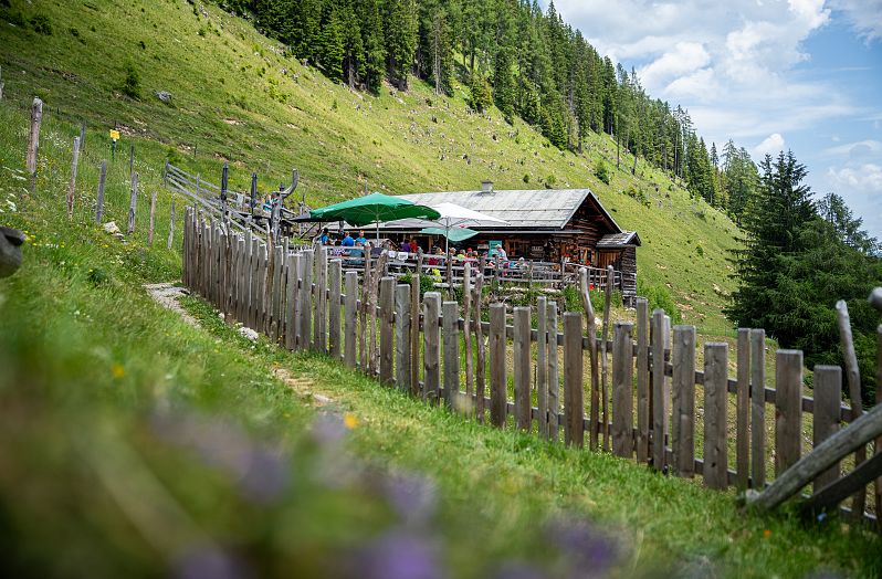
Blick auf die Niggeltalalm in Großarl
Beautiful hiking tour through alpine pastures with magnificent panoramic view, ideal for the whole family.
- Distance: 5.3 km
- Gains: 300 m
- Descents: 300 m
- Difficulty: easy
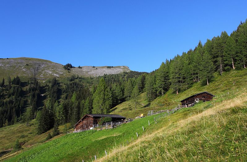
Relaxed hike through alpine meadows following the paths of the Salzburger Almenweg.
- Distance: 6.2 km
- Gains: 391 m
- Descents: 587 m
- Difficulty: intermediate
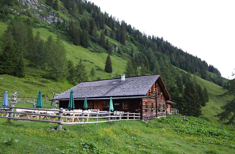
Glorious scenery, beautiful alpine meadows, in the "Mountain Climbing Village" of Hüttschlag.
- Distance: 13.4 km
- Gains: 1,007 m
- Descents: 1,007 m
- Difficulty: intermediate
Tour description Hirschgrubenalm - Aschlreitalm - Hühnerkaralm - Hubalm - Hüttschlag
