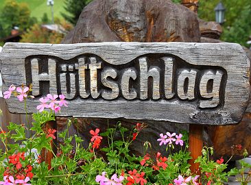
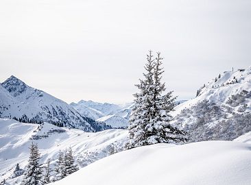
Hüttschlag
the mountaineering village at 1,020 m
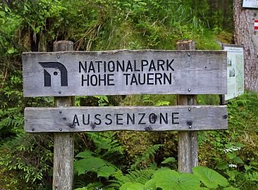
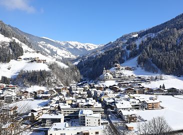
Hüttschlag is located at 1,020 m, about 8 km from Grossarl, and covers 95.18 km². One-third of the Hüttschlag municipal area has been part of Hohe Tauern National Park, the largest national park in the Alps, since 1991.
Since 2008, Hüttschlag has also been a proud member of the "Mountaineering Villages of Austria," a project by the Austrian Alpine Association within the scope of the International Alpine Convention. Further evidence of Hüttschlag's hiking and mountaineering expertise.
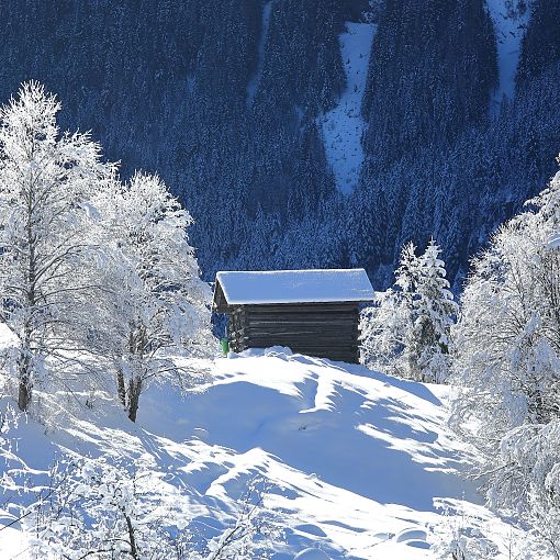
In winter, Hüttschlag is directly connected to the Grossarltal-Dorfgastein ski area by means of a free ski bus. Hüttschlag is a small paradise at the entrance to Hohe Tauern National Park, especially for cross-country skiers, winter hikers, and ski tourers.
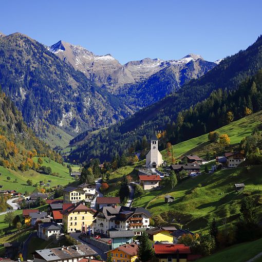
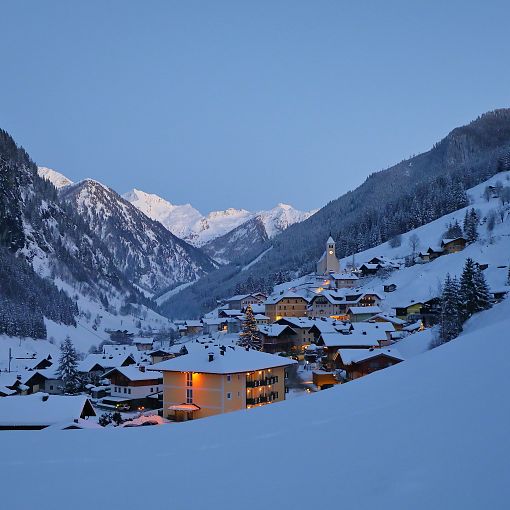
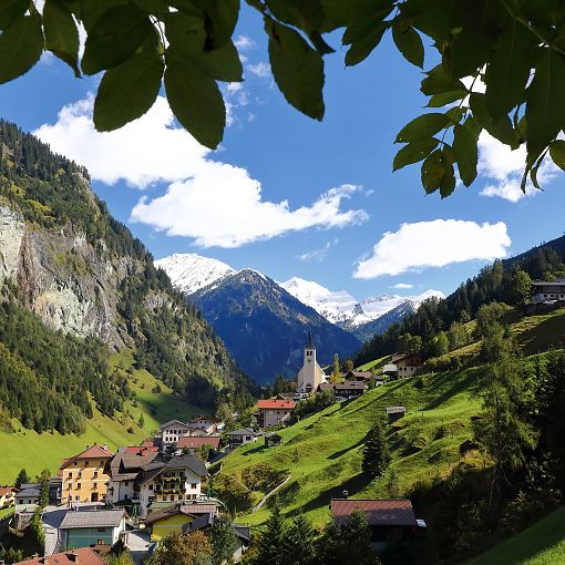
Facts & Figures Hüttschlag
- Elevation of the town: 1,020 m
- Highest point: Keeskogel, 2,884 m
- Population: 896
- Guest beds: 502
Sightseeing Attractions in Hüttschlag
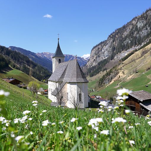
- Hüttschlag Parish Church
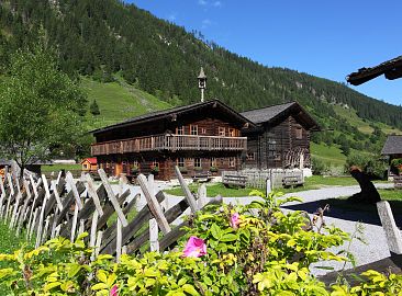
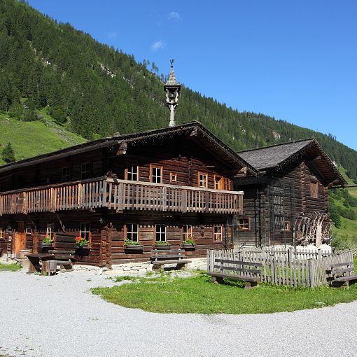
- Valley Museum with the exhibition "Mountain Huts - Between Heaven and Earth"
- National Park Street-Art Gallery
- KunstRoas
History of Hüttschlag
| Year | Events | |
|---|---|---|
| 400 to 700 C.E. | According to tradition, around this time Slavs from Carinthia and Lungau began to settle in the valley. Several place names like Klettn, Karteis, Schrambach, Tofern, Moritzen, etc. are of Slavic origin. Later, an influx of Bavarians displaced all Slavs, often leading to militaristic confrontations, especially in the areas of the Tappenkar and Bundschuh. Ultimately, the Bavarians gained the upper hand. | |
| Church in Hüttschlag | A wooden chapel is said to have already stood here around the year 1000, and was expanded a few years later. In 1675, Hüttschlag was elevated to a vicariate and in 1679, Archbishop Maximilian Gandolf von Khuenberg consecrated the new church to St. Joseph. Only in 1891 was the vicariate elevated to a parish. | |
| 1130 to 1137 | In 1130, a first path is said to have been created leading into the valley. Original names were variations on Arla, Arela, Urla, Michel-Arl, etc. This finally became Grossarltal. In 1137, Archbishop Conrad ordered the uneconomical Taurach valleys to be cleared and made farmable. Settlers looked for the best, especially the sunniest spots. | |
| Mining in Hüttschlag | Mining for copper and sulfur is said to have already been underway here in the 14th and 15th centuries. In the oldest tunnels, traces of wooden wedges, crowbars, and pickaxes can still be seen. Initially, smelting was carried out at the Hüttegalm. | |
| Lutheranism | In the 17th century, Lutheranism was brought into the valley by outside miners and quickly spread. In total, 1,100 people were forced to emigrate due to their Protestant faith in 1731/1732. | |
| Education | The public education system began in 1755. In 1735, the then sexton's house was built. In 1755, lessons were first given in the sexton's room. The first teacher was sexton Max Paumann. 1831 and 1905, in each of these years a new classroom was added. From 1958 to 1960, the new elementary school was built. From 1940 to 1972, there was also a branch school in Maurach. Since 1955, a middle school has stood in Grossarl. |
